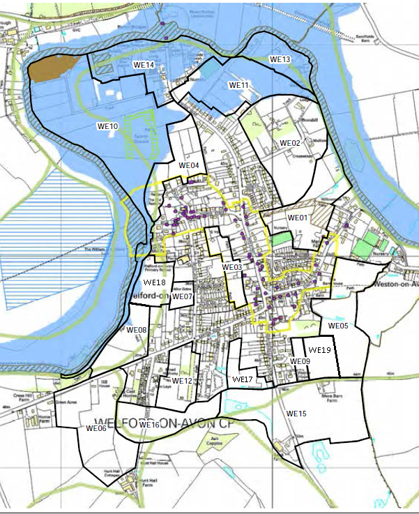
| This map showing Welford on Avon village is an augmented version of a map in the Stratford District Council (SDC) Landscape Sensitivity Report
The map shows the extent of the extreme flood plain and a number of areas which SDC have identified for potential development. |
 |
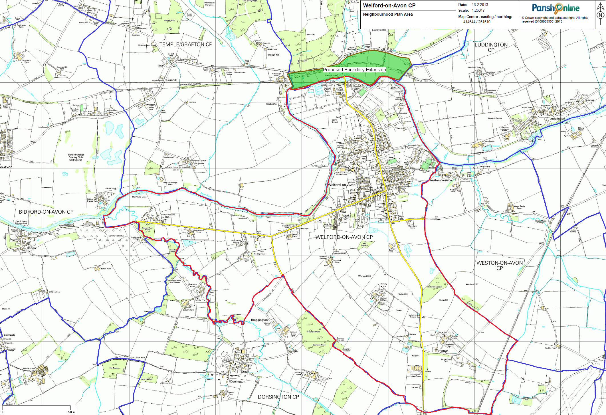
| This map shows the full scope of Welford on Avon parish including the area of land north of the river Avon up to the B439 road between Bidford and Stratford.
All development within the red bordered area comes under the local control of Welford on Avon Parish Council |
 |
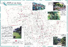
| This map produced by Stratford District Council shows Welford on Avon village conservaton area with some explanation in a single page PDF document.
|
 |